Commercial Drone Solutions
Comprehensive Drone-as-a-Service (DaaS) operations for every industry vertical.
Energy & Power
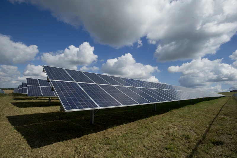
Solar Farm Inspection
Radiometric thermal detection of hotspots and defective cells to optimize energy output.
Power Line Inspection
High-res visual & thermal inspection of insulators and towers to prevent outages safely.
Wind Turbine Inspection
Millimeter-level crack detection on blades using zoom optics to extend asset lifespan.
Pipeline Monitoring
Gas leak detection and encroachment monitoring to ensure transport safety.
Precision Agriculture
Crop Health Monitoring
Multispectral NDVI analysis for plant stress detection to optimize yield.
Soil Analysis
Aerial mapping to plan drainage and irrigation systems effectively.
Survey & Mapping
LiDAR Mapping
Penetrate vegetation for accurate ground topography in dense forests.
Topographic Surveys
Generate contour maps for land development with centimeter-level accuracy.
3D City Modelling
Photogrammetry for smart city planning and digital twins.
Infrastructure & Construction
Construction Progress
Digital twins and timeline monitoring to track project milestones.
Bridge & Dam Inspection
Create 3D models to identify structural cracks and rust in hard-to-reach areas.
Volumetric Analysis
Measure stockpiles in mines or cement factories with 99% accuracy.
Public Safety & Emergency
Search & Rescue
Thermal imaging to locate missing persons at night in difficult terrain.
Disaster Management
Real-time damage assessment for flood/earthquake relief coordination.
Crowd Monitoring
Surveillance for police during large festivals or protests.
Enterprise Resources
Interactive tools and insights for project managers and CTOs.
Visual Proof: Thermal Anomaly Detection
Drag the slider below to compare standard optical vision with our radiometric thermal imaging. Thermal mapping instantly reveals hidden solar panel defects (hotspots) that lead to massive energy loss.
Drone Survey ROI Calculator
Estimate the time and cost savings of hiring SkyOps compared to traditional ground-based surveying methods. Move the slider to select your project size.